|
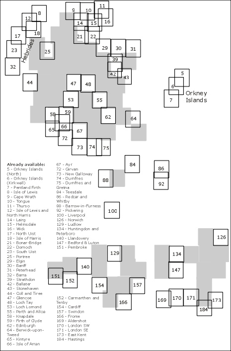
These maps
are scanned from a complete personal set, and are being released under
the terms of the Creative
Commons Attribution-NonCommercial Licence 3.0, as as they come out
of copyright. They are mostly flat copies, are in good condition, having
been used as reference material.
Licence
summary:
You
can do what you like with the tiles as long as you're not making money
from them.
You
can trace as much as you like from these maps and then do whatever you
like with the tracings - commercial or otherwise.
If
you do trace anything from them, please consider putting your tracings
in the public domain, so other people can benefit.
If
you want the original scans in order to make money, it is possible that
the copyright holder of the scans might be able to come to an agreement
with you
The scans
have been georectified and made available as source material for the OpenStreetMap
project.
Enjoy
Ordnance Survey Maps?
Check out the Charles Close
Society for the Study of Ordnance Survey Maps
The standard
reference book on the series:
A guide to the Ordnance Survey one-inch Seventh Series. Richard
Oliver. Second Edition. 68pp. London: Charles Close Society
Contact:
Steve Chilton
|


